All grades
Project
4 weeks
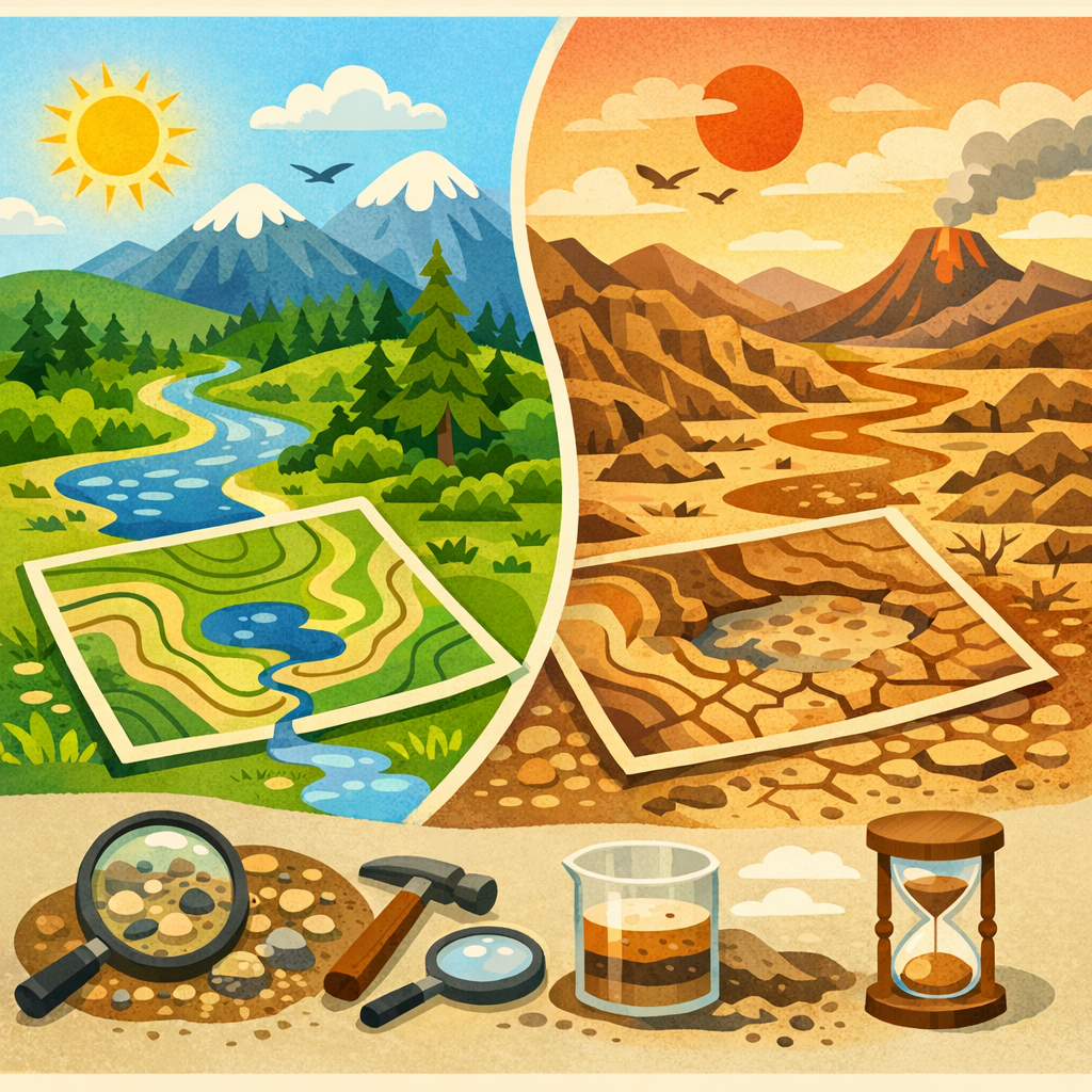
Future Lands: Mapping Tomorrow's Terrain
Updated
Critical Thinking & Problem Solving
1-pager
Test/Present
Test/Present
Students will conduct a final round of user validation on their interactive laser-cut topographic installations, refine their models based on authentic feedback, and present their full design journey—user research through iteration—at a public Map Makers’ Gallery Walk with community stakeholders.
Days 16 - 20
Empathize
Days 1–3
Day 1
🌧️ Sediment & Slope Challenge
Launch
45m
Day 2
🎤 Environmental Stakeholder Interviews
Community Experience
45m
Day 3
🧠 Empathy Maps & Assumption Check
Deliverable
45m
Define
Days 4–6
Day 4
🧩 Stakeholder Insight Clustering
Knowledge/Skill Building
45m
Day 5
🎯 Point-of-View & HMW Workshop
Knowledge/Skill Building
45m
Day 6
📝 Elevation Futures Design Brief
Deliverable
45m
Ideate
Days 7–10
Day 7
💡 20 Ideas for Elevation Futures
Deliverable
45m
Day 8
🌀 SCAMPER the Topographic Map
Knowledge/Skill Building
45m
Day 9
⚖️ User-Need Decision Matrix
Knowledge/Skill Building
45m
Day 10
🗺️ Concept Storyboard & Feedback
Deliverable
45m
Prototype
Days 11–15
Day 11
🧱 Cardboard Contour Prototype Build
Deliverable
45m
Day 12
👥 Peer User Testing Protocol
Deliverable
45m
Day 13
🔁 Feedback Friday Revision Log
Deliverable
45m
Day 14
🖥️ Laser File Precision Workshop
Knowledge/Skill Building
45m
Day 15
🔥 Laser-Cut Prototype Build
Deliverable
45m
Test/Present
Days 16–20
Day 16
🧪 New User Testing: Elevation Installation
Project Work
45m
Day 17
🔧 Final Revision of Laser-Cut Maps
Project Work
45m
Day 18
🗣️ Design Storyboarding & Evidence Mapping
Deliverable
45m
Day 19
🖼️ Map Makers’ Gallery Walk
Assessment
45m
Day 20
🌍 Ecosystem Impact Reflection Circle
Deliverable
45m
June 2026
Mon
Tue
Wed
Thu
Fri
15
Day 1
Empathize
🌧️ Sediment & Slope Challenge
16
Day 2
🎤 Environmental Stakeholder Interviews
17
Day 3
🧠 Empathy Maps & Assumption Check
18
Day 4
Define
🧩 Stakeholder Insight Clustering
19
Day 5
🎯 Point-of-View & HMW Workshop
22
Day 6
📝 Elevation Futures Design Brief
23
Day 7
Ideate
💡 20 Ideas for Elevation Futures
24
Day 8
🌀 SCAMPER the Topographic Map
25
Day 9
⚖️ User-Need Decision Matrix
26
Day 10
🗺️ Concept Storyboard & Feedback
July 2026
Mon
Tue
Wed
Thu
Fri
29
Day 11
Prototype
🧱 Cardboard Contour Prototype Build
30
Day 12
👥 Peer User Testing Protocol
1
Day 13
🔁 Feedback Friday Revision Log
2
Day 14
🖥️ Laser File Precision Workshop
3
Day 15
🔥 Laser-Cut Prototype Build
6
Day 16
Test/Present
🧪 New User Testing: Elevation Installation
7
Day 17
🔧 Final Revision of Laser-Cut Maps
8
Day 18
🗣️ Design Storyboarding & Evidence Mapping
9
Day 19
🖼️ Map Makers’ Gallery Walk
10
Day 20
🌍 Ecosystem Impact Reflection Circle