1st Grade
Project
3 weeks
Peaks, Rivers, and Peru Adventures
Updated
Critical Thinking & Problem Solving
Effective Communication
1-pager
Launch
Launch
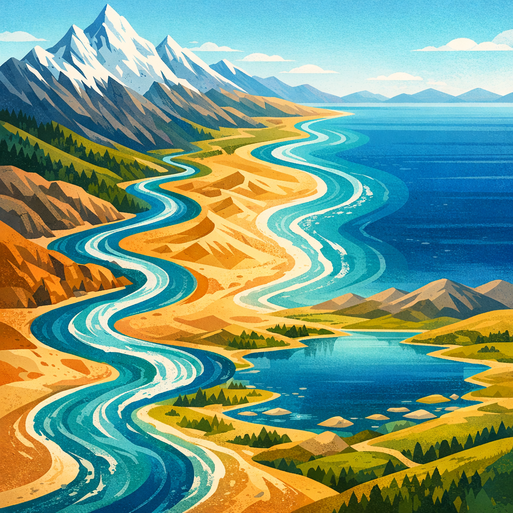
Students will launch the Peru investigation by listening to a Peru picture book, moving through a mountains-river-coast travel path, and helping build a shared class map with labels and picture cards. They will begin wondering how landforms and bodies of water help people, plants, and animals and name features a visitor should notice on a map.
Day 1
Question & Plan
Question & Plan
Students will turn their Peru observations into a focused investigation by choosing key landforms and bodies of water to study, stating simple ideas about how each one helps living things, and making a teacher-guided plan for collecting evidence with pictures, labels, and oral notes.
Days 2 - 3
Analyze & Present
Analyze & Present
Students will sort evidence from earlier investigations, turn their findings into a clear labeled Peru map or display piece, and practice a short oral tour that explains how mountains, rivers, and the coast help people, plants, and animals. They will use teacher and peer feedback to revise labels, pictures, and spoken explanations before the showcase.
Days 4 - 5
Launch
Days 1–1
Day 1
🗺️ Peru Journey Map Launch
Launch
45m
Question & Plan
Days 2–3
Day 2
🗺️ Peru Question Sorting Circle
Knowledge/Skill Building
45m
Day 3
📘 Evidence Plan Map Page
Deliverable
45m
Analyze & Present
Days 4–5
Day 4
🗺️ Peru Evidence Sort
Knowledge/Skill Building
35m
Day 5
🎤 Labeled Map Tour Draft
Deliverable
45m
Showcase
Days 6–6
Day 6
🗺️ Peru Map Makers Showcase
Assessment
45m
June 2026
Mon
Tue
Wed
Thu
Fri
8
Day 1
Launch
🗺️ Peru Journey Map Launch
9
Day 2
Question & Plan
🗺️ Peru Question Sorting Circle
15
Day 3
📘 Evidence Plan Map Page
16
Day 4
Analyze & Present
🗺️ Peru Evidence Sort
22
Day 5
🎤 Labeled Map Tour Draft
23
Day 6
Showcase
🗺️ Peru Map Makers Showcase